Tag: Ocean Energy
-
Sea Floor Mapping Upgrades
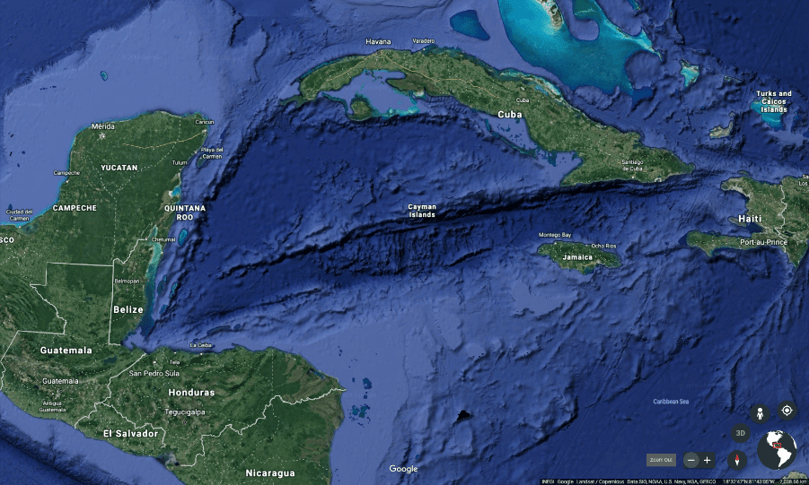
Advances in Sea Floor Mapping Extract from the BOEM Article Showing the Location of New Under-sea MappingNorthern Gulf of Mexico deepwater bathymetry grid. We create this from 3-D seismic surveys. The grid defines water depth with 1.4 billion 12 × 12 meter cells. BOEM grid coverage is limited to the area defined by rainbow colors.…